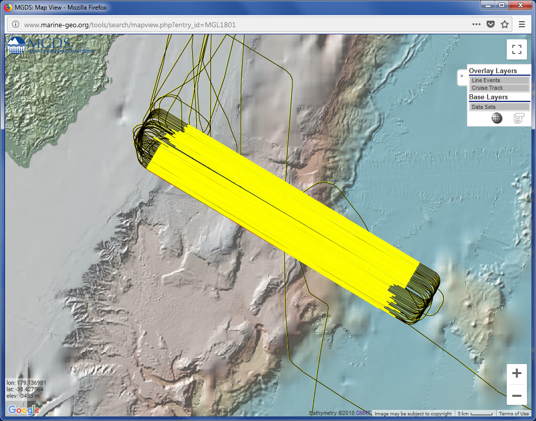
Figure 2. Seismic survey lines (bright yellow) and ship track (black) from the 2018 NZ3D survey of Bangs et al. The background elevation map is the Global Multi-Resolution Topography (GMRT) synthesis. The seismic data sets are available at: http://www.marine-geo.org/tools/search/entry.php?id=MGL1801