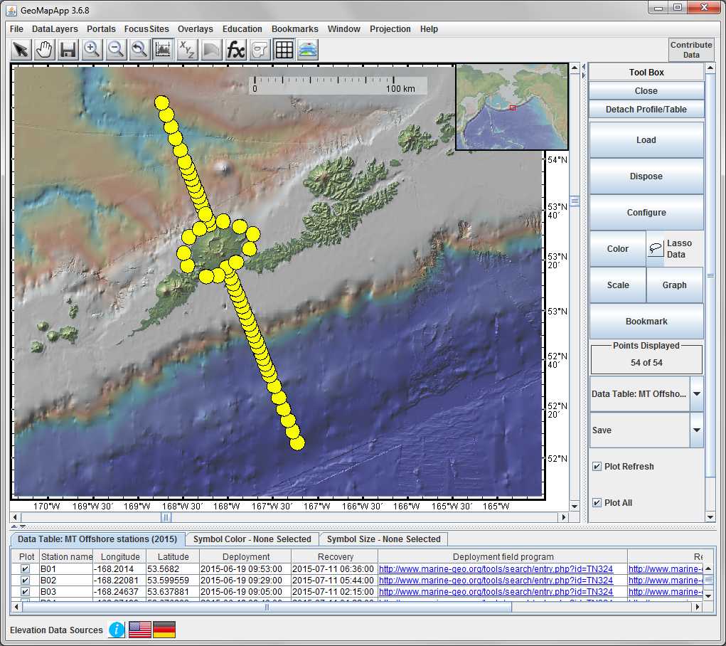
Figure 1. Offshore MT station locations (yellow circles) from the Key et al. 2015 survey. The image is made with GeoMapApp, with stations listed under the Focus Sites menu. The background map is the Global Multi-Resolution Topography (GMRT) synthesis which incorporates the USGS NED land topography data for the Aleutian arc.