Erin Hightower (Caltech) and Brandon Shuck (UT Austin)
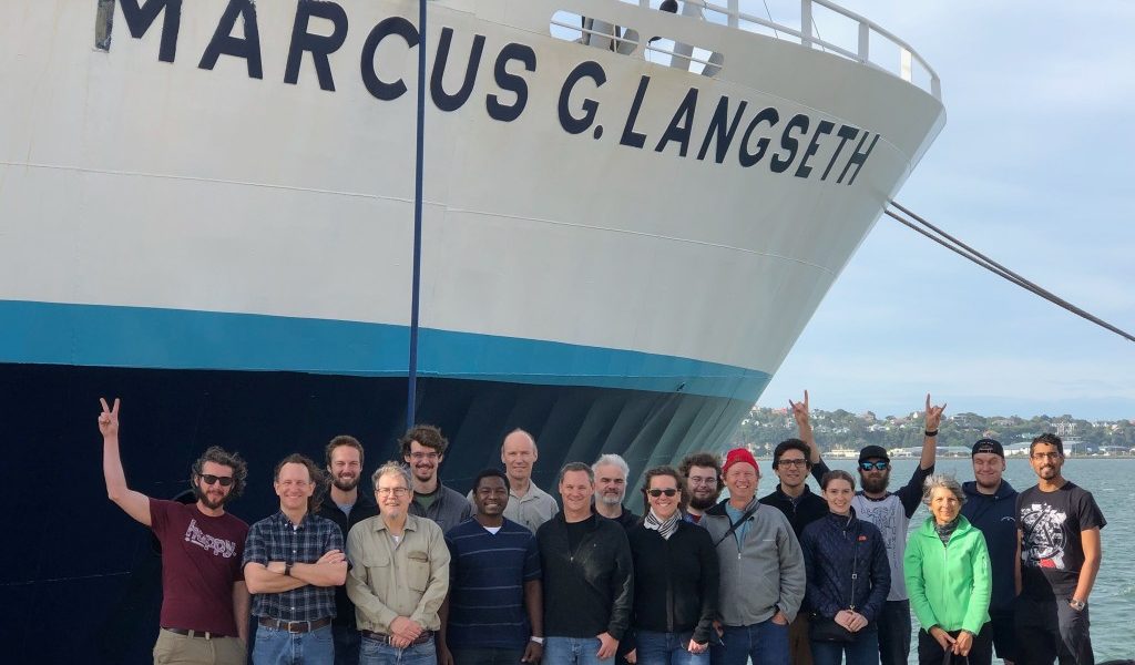
The South Island Subduction Initiation Experiment (SISIE) was an international collaborative active-source seismic survey of the Puysegur subduction margin conducted aboard the R/V Marcus G. Langseth with researchers and graduate students from Caltech, the University of Texas, Texas A&M University, Victoria University of Wellington, and the University of Otago, NZ. The SISIE hopes to further our understanding of the processes controlling subduction initiation, which remains one of the last unsolved problems in plate tectonics. There are many existing hypotheses and models that attempt to quantify and understand these processes, but while many of them are plausible, our ideas far outrun our data. Geodynamic modeling of subduction initiation can only go so far in accurately explaining the mechanics and dynamics of the process. Therefore, without sufficient data to substantiate these models, there is no definitive answer to how subduction zones form.
The Puysegur Trench is part of the Pacific-Australian plate boundary and is a uniquely situated margin for such a survey because it is a young subduction zone with a well-constrained kinematic history that currently appears to be making the transition from a forced to a self-sustaining state, a development that is crucial in ensuring the longevity of a subduction system. The SISIE project aims to test this hypothesis with the marine geophysical data we recently collected. We will use these data to model the crustal structure across the margin, which will play an important role in constraining geodynamic models of subduction initiation.
The SISIE took place from mid-February to late March, 2018 and acquired high-quality geophysical data along and around the Puysegur-Fiordland plate boundary (Fig. 1). As we quickly learned, a research cruise in the Southern Ocean is no easy feat, and twice we had to take shelter from storms and relentless ten-plus meter swells behind Auckland and Stewart islands. We were able to collect multichannel seismic reflection, wide-angle seismic refraction, high-frequency chirp, multibeam bathymetry, magnetic, and gravity data across the margin. Students onboard participated in a daily Marine Geophysics Class, taught by the PIs, which familiarized us with the various data types we were collecting and the tectonic history of New Zealand. By combining theoretical lectures with hands-on applications, the class gave us practical skills in processing and analyzing multibeam and seismic data, which was an invaluable experience.
A total of 28 UTIG ocean-bottom seismometers (OBSs) were deployed on two key transects which span from the subducting Australian plate, across the Puysegur trench and ridge, over the Solander Basin, and onto the Campbell Plateau (Fig. 1). Students were involved with all OBS operations including programming, sealing and mounting, deployment, and recovery of the instruments (Fig. 2). The OBS records show coherent arrivals of crustal and mantle refractions and Moho reflections, and hints of reflections from the subduction interface. These data will help constrain the crustal thickness and seismic velocity structure across the margin, which will help guide gravity modeling.
Multichannel seismic (MCS) data were acquired with a 4 or 12 km long streamer, with channels spaced every 12.5 m, and recording airgun shots every 50 m. A standard processing sequence of trace editing, noise suppression, deconvolution, velocity analysis, mute, stacking, post-stack time migration, and multiple suppression was applied, with many of these steps performed as the data were coming in. The resulting subsurface images are of excellent quality, which will allow us to constrain the nature and geometry of the incoming oceanic plate, subduction interface, upper plate faulting, and stratigraphy of the Solander Basin (Fig. 3).
New multibeam bathymetry data provide high-resolution characterization of seafloor features and topography. Gravity and magnetic data obtained throughout the duration of the cruise will also help provide constraints on crustal densities and structure, and detailed estimates of plate ages and their thermal and kinematic histories, supplementing previous datasets for the region. The gravity data in particular will be integrated with the structural surfaces interpreted from the MCS lines and tomography models to develop a comprehensive view of crustal structure that will shed light on the isostatic state of the Puysegur margin and ridge.
The SISIE onshore seismic array was deployed by a small team comprising students from Victoria University of Wellington, GNS Science researchers, and an American student volunteer. The seismographs consisted of five broadbands and 37 short-period instruments deployed in Fiordland and Southland (Fig. 1). The short period array comprises two approximately north-south profiles and one east-west profile across the Winston and Waiau basins, which were designed to line up with several of the MCS lines shot by the Langseth offshore to provide continuous onshore-offshore coverage. The broadbands on the offshore Islands and in those deployed onshore in Fiordland will remain in the field for a year to record earthquakes, a number of which have already been recorded from the Fiordland area. With this array, we hope to record data that elucidates the nature of the crust and the plate geometry beneath southern New Zealand.
The SISIE MCS images are the highest quality data collected in the region, which gives an unprecedented view of the Puysegur subduction zone. In the marine seismic reflection images, we can identify a clear décollement extending from the trench. The image shows some sediment being subducting with the downgoing oceanic plate and some being underplated onto the Pacific plate (Fig. 3a). We were surprised to find stretched continental crust beneath the Solander Basin with the possibility of serpentinized upper mantle (Fig. 3b). Although more work is needed to determine the connection between this stretched crust and the Puysegur subduction system, this is already a major result that likely has great implications for understanding the mechanisms behind subduction initiation. In fact, our preliminary results leave almost no real example of ocean-ocean subduction globally, implying that some component of buoyant continental crust may be necessary for subduction initiation. In the future, we will integrate these data into a more complex and robust geodynamic model of subduction zone formation. SISIE highlights the need to continue marine seismic surveys of subduction margins, especially in areas that are not well explored, and the scientific impact that they bring to our community. Stay tuned for upcoming exciting results from the SISIE researchers and students! ■


