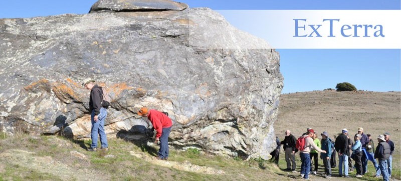
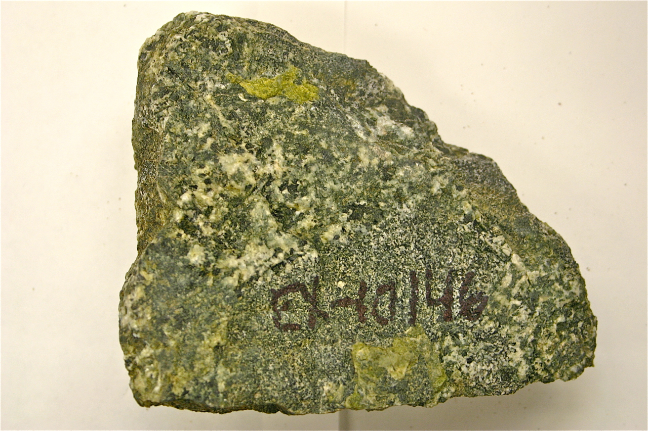
Samples collected during collaborative Field Institutes will be assigned International GeoSample Numbers (IGSNs) and registered with the System for Earth Sample Registration (SESAR). In contrast to a traditional “field trip”, wherein an expert leads a group of participants through the field area pointing out features of interest along the way the quickly moving on to the next stop, the mission of ExTerra Field Institutes is to spend a longer amount of time at a smaller number of stops, making field observations and collecting samples for group research. Samples collected in the field will be split and one-third will be archived. The remaining two-thirds of each sample will be divided and prepared into three sample types (“Daughter Samples”):
3) powders for major element analysis and some isotopic analyses.
Field Institute participants will be given sample access priority for a specified period of time (usually for the period of the grant proposal or one year from the time of the Field Institute, whichever is longer), after which samples will be available upon request to the general community for research and education purposes.
 Data Management
Sample metadata including latitude and longitude of sample location, sample type and classification, and sample description are permanently archived when the sample is registered with SESAR. All subsequent data management will be referenced to the IGSN and metadata stored in SESAR. Expedition metadata (for each Field Institute) will be stored in the GeoPRISMS Data Portal and linked to published data by IGSN as it becomes available. Sample photographs will be posted on the GeoPRISMS website and linked to both the SESAR metadata and the Penn State physical archive by IGSN. Geochemical and petrographic data will be stored in the EarthChem Library, where it will receive a digital object identifier (DOI), enabling permanent archiving and accessibility of the data. Ultimately, data specific to metamorphic rocks, including spatially resolved data (such as mineral compositions, inclusions, and zonation), will be accessible using the MetPetDB database. Whole rock geochemical data will be accessible using the GeoPRISMS Data Portal or the EarthChem Data Portal.